QLD 7367 on Sale
Description
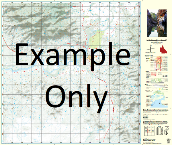
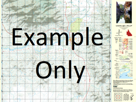
This Topographic Map is produced by the Department of Natural Resources and Mines (DNRM), part of the Queensland Government.
This product is continously updated with the latest information available. New editions are generally published in Oct Nov each year, however minor updates are constantly being included.
DNRM maps are produced automatically by computers, with minimal human oversight; so some duplication of information and occasional minor cartographic inconsistencies can be found.
The PDF version of this can be printed at home or sent to a professional printer for a 100% scale reproduction.
At this scale, 1cm on this map represents 1km on the ground. A standard map (which is square) covers an area of approximately 54km by 54km, with a contour interval of 20m. This map contains natural and constructed features including road and rail infrastructure, vegetation, hydrography, contours, localities and some administrative boundaries.
Bateman Bolton Bowes Brodrick Cloughton Cootah Creek Emu Lagoon Goose Creek Hoodoo Creek Irby Koolatah Levisham Mars Creek Middle Creek Mimosa Creek Old Coolatah Waterhole Paradise Creek Sefton Sellars Creek South Bottle Creek Mitchell-Alice Rivers National Park Emu Yard
Additional Information
| Title | Paper, Laminated, Pdf Download |
|---|
Related products


linkrelayus.shop © 2025 All Rights Reserved