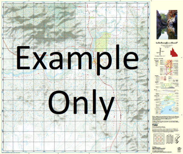
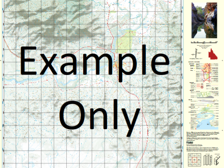
QLD 7363-3 Supply
Description
This Topographic Map is produced by the Department of Natural Resources and Mines (DNRM), part of the Queensland Government.
This product is continously updated with the latest information available. New editions are generally published in Oct Nov each year, however minor updates are constantly being included.
DNRM maps are produced automatically by computers, with minimal human oversight; so some duplication of information and occasional minor cartographic inconsistencies can be found.
The PDF version of this can be printed at home or sent to a professional printer for a 100% scale reproduction.
At this scale, 2cm on this map represents 1km on the ground. A standard map (which is square) covers an area of approximately about 25km by 25km, with a contour interval of 10m. This map contains natural and constructed features including road and rail infrastructure, vegetation, hydrography, contours, localities and some administrative boundaries.
Crocodile Lagoon Crocodile Waterhole Eight Mile Waterhole H Lagoon Mahlah Lagoon Miranda Creek Omma Pickle Lagoon Reedy Creek Twelve Mile Plain Twin Holes White Water Lagoon Wild Rice Lagoon Yellow Dinner Camp Lagoon Mahlah Waterhole Maxwell Creek Wilsons Hut Eight Mile Hut
Additional Information
| Title | Paper, Laminated, Pdf Download |
|---|
Related products


linkrelayus.shop © 2025 All Rights Reserved