QLD 7441 Online Sale
Description
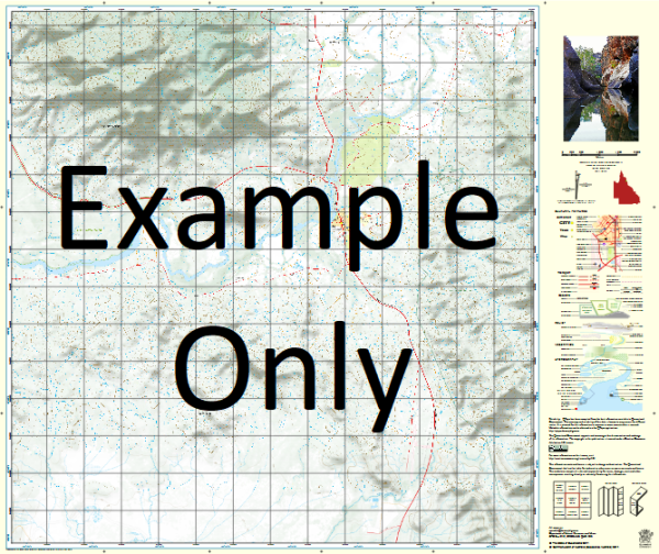
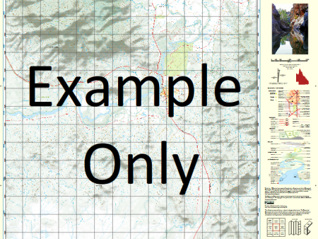
This Topographic Map is produced by the Department of Natural Resources and Mines (DNRM), part of the Queensland Government.
This product is continously updated with the latest information available. New editions are generally published in Oct Nov each year, however minor updates are constantly being included.
DNRM maps are produced automatically by computers, with minimal human oversight; so some duplication of information and occasional minor cartographic inconsistencies can be found.
The PDF version of this can be printed at home or sent to a professional printer for a 100% scale reproduction.
At this scale, 1cm on this map represents 1km on the ground. A standard map (which is square) covers an area of approximately 54km by 54km, with a contour interval of 20m. This map contains natural and constructed features including road and rail infrastructure, vegetation, hydrography, contours, localities and some administrative boundaries.
Bellera Bellera Creek Bulgaribba Waterhole Bulloo Culliberee Waterhole Ella Mount Gay Goonabooka Graham Creek Mount Lucas Muggera Mullaroo Mungoora Parrabinna Parrabinna Waterhole Pitteroo Pitteroo Creek Poocha Poocha Creek Tabaragaba Waterhole Thoora Thoora Waterhole Wallothappie Waterhole Whippa Creek Wirrah Waterhole Bulloo Downs Out Station Pitheroo Creek Parrabinna Creek
Additional Information
| Title | Paper, Laminated, Pdf Download |
|---|
Related products


linkrelayus.shop © 2025 All Rights Reserved