QLD 9545 Cheap
Description
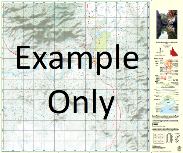
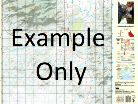
This Topographic Map is produced by the Department of Natural Resources and Mines (DNRM), part of the Queensland Government.
This product is continously updated with the latest information available. New editions are generally published in Oct Nov each year, however minor updates are constantly being included.
DNRM maps are produced automatically by computers, with minimal human oversight; so some duplication of information and occasional minor cartographic inconsistencies can be found.
The PDF version of this can be printed at home or sent to a professional printer for a 100% scale reproduction.
At this scale, 1cm on this map represents 1km on the ground. A standard map (which is square) covers an area of approximately 54km by 54km, with a contour interval of 20m. This map contains natural and constructed features including road and rail infrastructure, vegetation, hydrography, contours, localities and some administrative boundaries.
Noosa Heads Peregian Beach Tewantin Teewah Alexandria Bay Alexandria Beach Mount Bilewilam Blowhole Or Roaring Cave Broutha Waterhole Burgess Creek Castaways Creek Como Lake Como Cooloola Coast Cooloola Noosa River Resources Reserve Cooloola Sand Patch Lake Cooloola Lake Cooloomera Cooroibah Creek Lake Cooroibah Lake Cootharaba Cranks Creek Devils Kitchen Dolphin Point Doonan Creek Lake Doonella Eenie Creek Elanda Point Emu Swamp Fairy Pools Fig Tree Point Freshwater Creek Freshwater Lake Goat Island Granite Bay Hay Island Hells Gates Horsman Creek Jew Shoal Keyser Channel Keyser Creek Keyser Island Kin Kin Creek Kinaba Island Laguna Laguna Bay Lion Rock Little Freshwater Creek Makepeace Island Marcus Beach Marcus Creek Munna Point Murdering Creek Noosa Head Noosa Hill Noosa Inlet Noosa River Noosaville North Head North Heads Oyster Rocks Paradise Caves Peregian Creek Mount Peregian Ringtail Creek Roaring Cave Rocky Point Ross Island Seawah Hill Shark Bay Sheep Island Sunshine Beach Sunshine Coast Sunshine Creek Teewah Beach Teewah Coloured Sands Teewah Creek Teewah Landing Tewantin State Forest Thannae Waterhole The Stairway Weyba Weyba Creek Lake Weyba Witches Cauldron Womalah Wooroi Creek Castaways Beach Goat Island Noosa River Conservation Park Harry Springs Conservation Park Keyser Island Conservation Park Sheep Island Conservation Park Weyba Creek Conservation Park Cooloola Beach Sunrise Beach Doonan Noosa Shire Great Sandy Resources Reserve Cooloola Tea Tree Bay Pig Island Peregian Springs Noosa National Park Noosa North Shore Womalah Resources Reserve Cooroibah Doonan Maroochy Shire Verrierdale Weyba Downs Store Creek Tewah Creek Lake Cooloolah Lake Coothraba Boreen Point Noosa Alexandra Bay Noosa River Conservation Park Doonella Lake Lake Donella Lake Weuba Emu Mountain Mount Perigian Yandina Creek
Additional Information
| Title | Paper, Laminated, Pdf Download |
|---|
Related products


linkrelayus.shop © 2025 All Rights Reserved